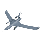
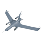
Description
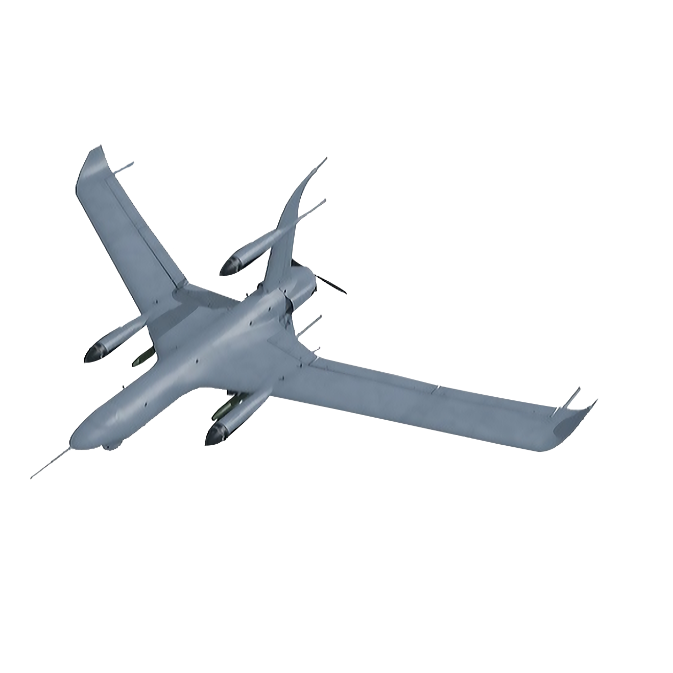
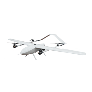
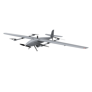
The Vertical Takeoff and Landing UAV JC-F35g is an advanced unmanned aerial vehicle designed for a variety of applications including environmental protection, water management, emergency response, security, resource surveying, and intelligent inspections. Equipped with state-of-the-art technology, this UAV can carry high-definition cameras, infrared cameras, multispectral cameras, and other specialized sensors to conduct both non-contact and contact detection. Its intelligent software systems enable effective data processing and ecological management, enhancing its operational capabilities in diverse settings.
With features aimed at improving disaster management, urban security, and resource allocation, the JC-F35g stands out for its versatility and efficiency. It is capable of rapid response in emergencies, providing real-time geographic information and facilitating the delivery of essential supplies. The UAV is also designed for high performance, ensuring reliable operation in various environments.
Specifications
| 机型 (Model) | JC-F35g |
|---|---|
| 机身规格 (Size) | 3200*1900*450mm |
| 动力方式 (Power Type) | 油动+电动 (Petrol+Electric) |
| 最大起飞重量 (Max takeoff weight) | 35kg |
| 最大实用商载 (Max practical commercial load) | 5kg |
| 最大巡航速度 (Max flying speed) | 125km/h |
| 最大飞行航时 (Max endurance) | 10h |
| 最大起降海拔 (Max takeoff and landing altitude) | 3000m |
Additional Information
The JC-F35g is ideal for various tasks such as ecological monitoring, flood control, urban safety management, and resource mapping. With its innovative design and intelligent capabilities, it significantly reduces labor costs while ensuring personal safety through advanced AI features for image and behavior recognition.
